About
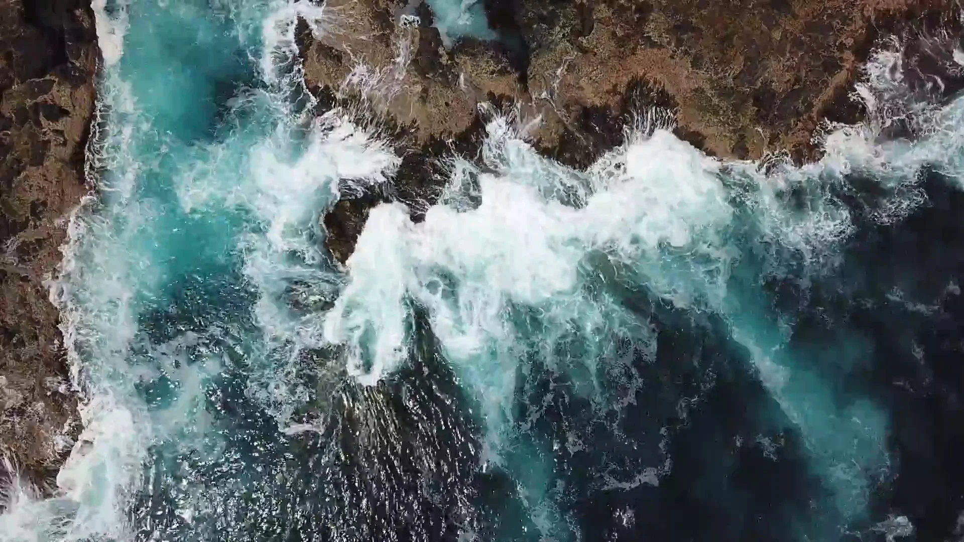
A rugged coastline on the southern side of the Mornington Peninsula is pounded by the strong Bass Straight currents and severe weather systems. This notorious stretch of water has been the doom of many ships and hundreds of wrecks litter this section of coastline. While the seas can be rough and the rips dangerous, the scenery is spectacular and for experienced surfers, fisherman and photographers, there is nothing like it.
Crashing ocean waves and scenic visual landscapes make seascapes an irresistible subject for many photographers and instagrammers. But, its the inexperience of many that lead to serious injury in their quest to chase those trophy images.
Between January 2017 and January 2018, 3 visitors have lost their lives throughout the Mornington Peninsula’s rugged coastline. Hundreds more injured and Instagram is full of tales of near misses, damaged equipment and injuries attempting to capture the coast.
Seascape photography often involves navigating rocky shorelines, often in darkness. The dangers include uneven terrain, slippery surfaces from moss and moisture (some moss is black and hard to see), crevasses, rock pools and other pot-holes. But on the Mornington Peninsula, some of the most spectacular locations are located on reefs with hidden and often hard to see crevasses with strong currents that whip up under the floating reefs.
Pulpit Rock, Dragon Head Rock, London Bridge and Bridgewater Bay attract visitors in droves, sunrise and sunset always lined with ill prepared tourists armed with camera and phones with no knowledge of the area and tides.
OVERVIEW
A brief snapshot of the problem currently facing the Mornington Peninsula.
Click image to enlarge.
“I watched all the waves moving in from the right and then in the corner of my eye I saw a wave coming from the left. The conditions changed so rapidly.”

the warning signs
Stretches of the Mornington Peninsula are the most dangerous coastline and beaches in Australia. Gunnamatta beach is notorious for drownings due to its strong rip currents. But these are common throughout the region accompanied with large unpredictable waves. The weather conditions also subject the coastline to erosion hence highly unstable cliffs.
SO WHAT DOES THAT MEAN?
An aerial image of Cape Schanck Coastal Reserve. The markers indicate popular photo/selfie locations, as tracked on social media platforms. Some of the lines indicate cleared paths and sections leading to these locations through revegetation areas. These markers are located outside the designated boardwalk and viewing platforms.
The following markers are located outside the current boardwalks, some of these markers are located in ‘Revegetation Areas’ that Parks Victoria is rehabilitating.
Cape Schanck Coastal Reserve Map
“A visitor drowned after been swept from a reef in January 2018.”

“Would you climb out onto a rock shelf during a storm?”

The Real Impact
I visited the Mornington Peninsula on a weekend with clear skies. I was amazed at all the people in areas marked “please keep out”, a group of photographers headed to Pulpit Rock in the dark for astro photography, no torches at high tide, one of the most dangerous sections of coast in Victoria.
Click images for captions and larger images (Lightbox)
“I took this photo from the boardwalk to prove you don’t need to risk your life for an image. I watched others climb barriers and rocks at high tide.”

“Until the 1970s, the Cape Schanck area suffered from overuse. Parks Victoria has contributed extensive work into rehabilitating the area.”
Holly Barker


